Google Earth Now Includes Ocean Data And Fails To Locate Atlantis
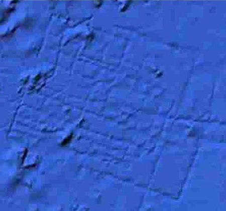
Could this be the lost city of Atlantis?

Things were in an uproar when the British tabloid, The Sun, stated that Google Earth had found Atlantis. Unfortunately for all of us sci-fi fans, it was not the case. The BBC got the full story from Google:
“It’s true that many amazing discoveries have been made in Google Earth including a pristine forest in Mozambique that is home to previously unknown species and the remains of an Ancient Roman villa,” a Google statement said.
“In this case, however, what users are seeing is an artifact of the data collection process. Bathymetric (or sea floor terrain) data is often collected from boats using sonar to take measurements of the sea floor,” she added. “The lines reflect the path of the boat as it gathers the data. The fact there are blank spots between each of these lines is a sign of how little we really know about the world’s oceans.”
The really cool thing is that now Google Earth includes data from the ocean floor. It’s not perfect, but it gives us the idea of how much of the ocean there is still left to explore. If you have never played with Google Earth, here is a tutorial about it here:
I am really curious – how does Google expect to make money out of Google Earth. I can understand emails, websites for your photos etc etc because in the end they allow people to serach and eventually someone will be willing to pay for the search. But the bottom of the ocean? What is their thinking? Do you have any idea.
Comment by Lionel — February 25, 2009 @ 7:26 am